LIDAR · POINT CLOUD INTELLIGENCE · TREE-LEVEL INVENTORY

Per-tree intelligence,
on every acre.

Transform raw LiDAR data into complete tree-level inventories. Measure every tree, everywhere — across plantations, natural forests, public lands, and urban environments.

ArborMapper combines LiDAR, AI, and advanced point cloud processing to automatically identify, classify, and measure individual trees with exceptional speed and accuracy.

DBH accuracy
± 0 cm
tree census coverage
0 %
scan to inventory
< 0 h

8,685 trees

segmented in a single scan

THE PROBLEM

Forestry decisions depend on data. Most organizations don't have enough of it.

Traditional inventories sample a few percent of an area, then extrapolate across thousands of acres. The result is expensive to collect, slow to report, and stale before the next decision is made.

~$245

per acre, manual cruise

±10–15%

volume error on a 2–5% sample
Where traditional methods fall short

01

High costs

Field crews, travel, and re-measurement make full coverage economically impossible.

02

Limited sampling

A 2–5% plot sample stands in for every tree you never actually measured.

03

Slow reporting

Weeks of data entry and processing separate the field visit from a usable report.

04

Outdated inventories

Inventories age out between cycles, so decisions rest on years-old numbers.

05

Human error

Manual calipering and transcription introduce variance no audit can fully resolve.
THE ARBORMAPPER DIFFERENCE

One sensor. Two platforms.

The Knap XP2™ — an OS-1 Ouster sensor head — mounts on a backpack or a UAV without recalibration. Walk dense understory or fly an entire tract from above; both feed one Arbor Forge pipeline and one defensible inventory.

Backpack mode

[ PLACEHOLDER · backpack hardware photography ]

Under the canopy

SLAM and inertial navigation run GPS-denied beneath dense crown. Capture stems, understory, and structure at walking pace — the detail a drone can’t see from above.

200 m

MAX RANGE

4+ h

BATTERY / MISSION

GPS-denied

SLAM CAPABLE

Backpack mode

[ PLACEHOLDER · backpack hardware photography ]

Across the tract

Detach the head, mount it on a UAV, and cover hundreds of acres per flight. Canopy structure and terrain from above, georeferenced and ready to fuse with backpack passes.

100s​

ACRES / FLIGHT

1″

POSITION PRECISION

GNSS-INS

DIRECT GEOREF.

icon-expand

Backpack and drone passes fuse into a single point cloud — understory detail and full-tract coverage in one inventory. Interactive hardware specifications coming soon.

HOW IT WORKS

From scan to inventory in under 24 hours.

flight-trajectory
01 · SCAN

Capture the forest

Walk it or fly it. LiDAR + GNSS-INS records millions of georeferenced points per acre, with SLAM filling in GPS-denied canopy.

semantic-pipeline
02 · CLASSIFY

Separate ground from canopy

Arbor Forge classifies every point — terrain, stem, foliage — and builds a dense, clean, georeferenced 3D cloud.

segmentation-topdown
03 · SEGMENT

Isolate every tree

Forest Metrics segments individual stems automatically — each tree a distinct object, traceable back to its points.

stem-map
04 · MEASURE

Extract the metrics

DBH, height, volume, bifurcation, and location per tree — delivered as a tabular inventory and an explorable point cloud.

RESULTS & ACCURACY

Numbers that matter.

Every measurement traces back to the underlying point cloud — defensible by construction, published, never overclaimed.

±3 cm

DBH accuracy vs. field reference

100%

Tree census coverage, not a sample

8,685

Trees mapped in a single scan

24 h

Scan-to-inventory processing

MEASURED vs. REFERENCE DBH

Validation against caliper-measured reference trees across small, mid, and large diameter classes. R² = 0.96 · bias −0.27 cm.

INTERACTIVE POINT CLOUD

See every tree. Explore every
detail.

This is the data ArborMapper hands you — not a flat report, but an explorable, measurable point cloud. Every tree carries its own height, DBH, volume, and location.

Container hosts Potree · Three.js · your project’s real .las / .laz tiles

APPLICATIONS

Built for every forestry workflow.

Public Lands — Defensible inventory for agencies

Walk into the budget hearing with a 100% census, not a 5% sample. Inventory-cycle reporting for State DNRs and the USDA Forest Service — auditable to the point cloud.

Methodology you can publish

Per-tree geometry, stem reconstruction, and biomass inputs for growth-and-yield and carbon research. Every metric is traceable, repeatable, and peer-reviewable.

Timber Operations — Cruise and harvest planning

Per-stem volume and board-feet estimation across the whole stand. Plan harvests and price sales on measured trees instead of extrapolated plots.

Forestry

Survey Large Areas and combine data from various missions.

AUTHORIZED DEALER

Inspired Flight

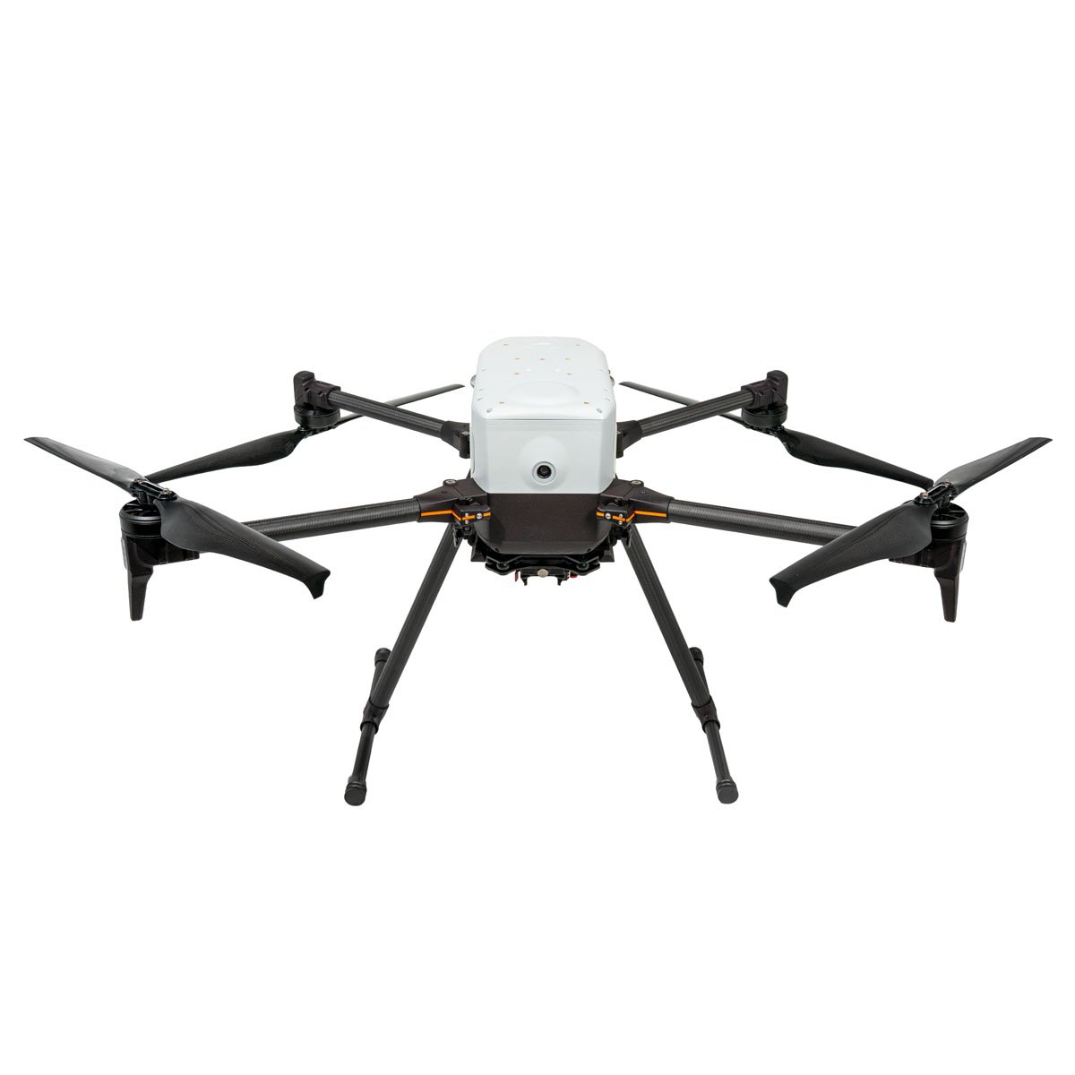
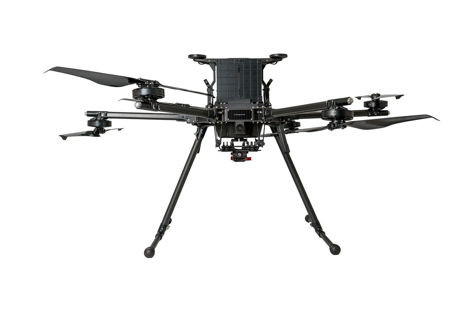
We are an authorized Inspired Flight partner dealer, selling the drone platforms that carry the Knap XP2™ across every ArborMapper deployment.

Inspired Flight IF800 Tomcat drone

IF800 Tomcat

Learn more
FAQ

Questions, answered.

Yes. The Knap XP2™ is a single OS-1 Ouster sensor head. Mount it on the backpack rig for under-canopy passes, then detach and mount it on a UAV for full-tract coverage — no recalibration. Both modes feed the same Arbor Forge pipeline, and their clouds fuse into one inventory.

A georeferenced point cloud, a per-tree inventory table (location, height, DBH, volume, bifurcation), stem maps, and the explorable viewer. Every value traces back to the points it was measured from, so the deliverable is auditable, not just a summary.

Yes — that’s what a pilot is for. We scan a representative stand from your land, process it, and hand back the full inventory and viewer so you can validate the data against your own reference trees before committing.

DBH validates to within ±3 cm against caliper-measured reference trees (R² = 0.96, bias −0.27 cm), with inch-level position precision. We publish accuracy by diameter class rather than quoting a single best-case figure — and never overclaim.

It’s built for it. Backpack SLAM mode runs GPS-denied beneath closed canopy where drones lose signal and line of sight, capturing stems and understory directly. Fusing a backpack pass with a drone flight gives you both the floor and the crown of even the densest stands.

BOOK A PILOT

Let's pilot ArborMapper on your forest.

Tell us about your land and your mandate. We’ll scan a representative stand, process it, and walk you through the inventory and viewer — usually within a single business day of the flight.

PHOTO
LEADERSHIP

“We don’t hand you a point cloud to clean up. We hand you trees you can defend.”

[ PLACEHOLDER · leadership photography & name ]


RESPONSE

≤ 1 business day

DIRECT LINE

info@arbormapper.com